Maps
There's lots of beautiful country here in the Gila. You won't find gas or food around every bend in the road! It's a good idea to be familiar with the area before you go, and these maps can help.
- Cities and Towns (Google Maps that you can move and zoom in/out):
- New Mexico Tourism maps page
- Gila National Forest maps & publications
For the latest on forest road conditions, call or stop by a Forest Service office.
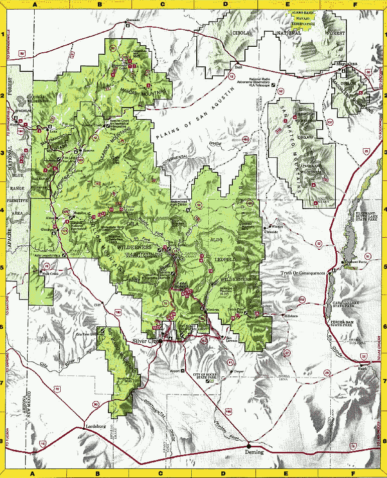
Thanks to the U.S. Forest Service for the map below that I've used to show details of the Gila.
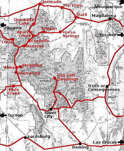
Click on a name in red for more information about that community.
Overall map of the Gila
The map below is an overview of southwestern New Mexico and the Gila — the area covered by this website. There's a bigger version on the Gila National Forest website.