Scenic Spots
This page lists beautiful spots in Catron County and the Gila. (You'll find more on other pages around this website. Click on the page names at the bottom — for instance, the Facilities and Contents pages.)
Many scenic spots aren't on main highways. For the latest on forest road conditions, call or stop by a Forest Service office.
| Ancient ruins along the canyon walls in the Gila Cliff Dwellings National Monument | 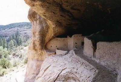 |
| The trails around it, and the Catwalk itself, give spectacular views... and a cool place to spend a warm summer day. | 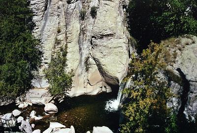 |
| Snow Lake: 55 miles from Reserve via NM 435 and Forest Roads 141, 28, and 142. It has 40 campsites, fishing, boating restrictions. Call 575/533-6231 for more information. | 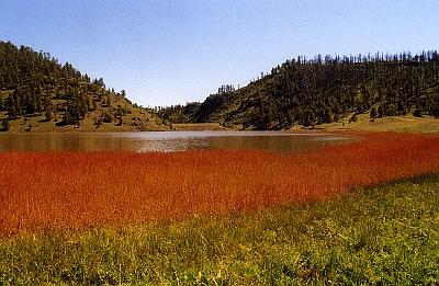 |
| Gwynn Tank - take NM highway 435 heading south from Reserve. Continue as NM 435 turns southeast and becomes Forest Road 141. Campground with tables and rest rooms. | 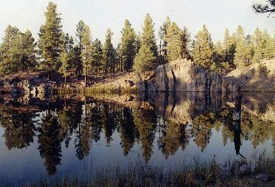 |
| If you've only visited lower-elevation parts of New Mexico, you might be surprised that the grass here is green all summer — and the fields are filled with a variety of beautiful flowers. This view is one-quarter mile east of Apache Creek along NM highway 12. | 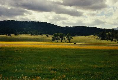 |
| Switchback on NM highway 32 near Jewett Gap. | 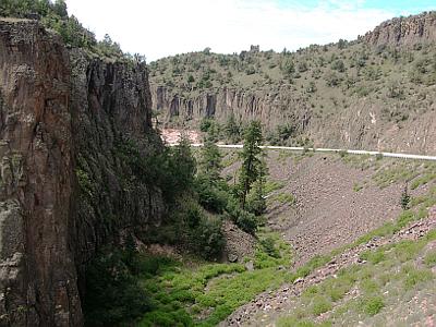 |
| Beautiful views of the Tularosa on Forest Road 233, which is about 2 mi. north of Reserve, on Hwy. 12. (turn off to Eagle Peak). | 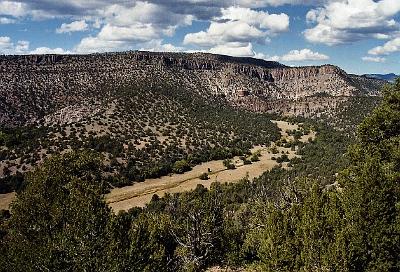 |
| Forest Road 141 is very scenic, beautiful mountain ranges, from the Saliz to the Mogollon. Take NM 435, 5 mi. to Forest Road 141. | 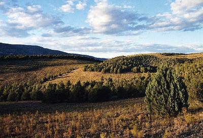 |
| Bear Wallow Mountain Lookout - This cabin, along with two other structures, were built in the 1940's by the WPA. In 2006 The Bear Fire, which burned across Bear Mountain, came close to these buildings. Elevation of Bear Mountain is 9,944 ft. The best time to visit the lookout is in the fall. | 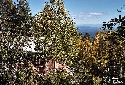 |
| La Ventana - A large natural arch in the sandstone bluffs on the east side of El Malpais National Monument. NM Hwy. 117, near Grants. | 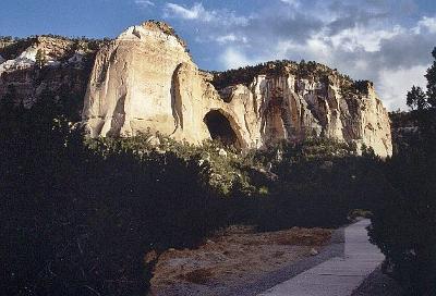 |
| Mogollon Mountains - beautiful view from US Highway 180, about 10 mi. from Glenwood, near the Leopold Vista rest area. | 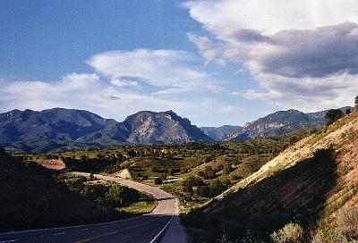 |
| Peñascosa (which means "rocky") - along NM highway 12, about 2 miles southwest of Old Horse Springs | 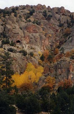 |
| San Agustin Plains - located in Catron and Socorro Counties, probably best known as the site of the Very Large Array (VLA), a radio astronomy observatory. | 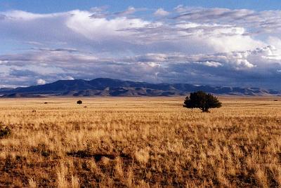 |
| Center Fire Bog area - northeast of Luna, NM | 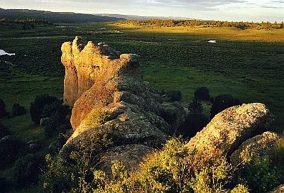 |
| Buzzard's Peak - elevation is 9,672 ft. From Reserve head north, about 2 mi. turn off to Eagle Peak on Forest Road 233. Buzzard's Peak is before Eagle Peak. | 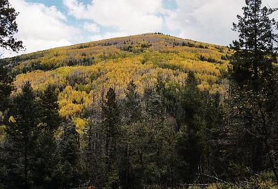 |
| Eagle Peak - elevation 9,786 ft. 18 mi. from turn off, about 2 mi. from Reserve, on NM 12, forest road 233. | 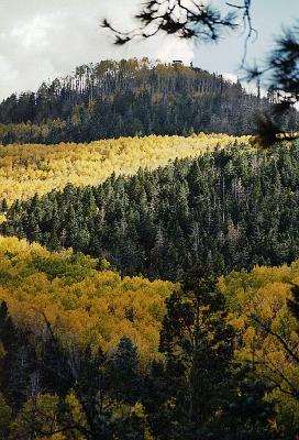 |